

Felkerino wrote a day-by-day summary of our weekend 1000K pre-ride. It was intended for those who will be riding the event this upcoming weekend, but I thought others might enjoy reading it, too.
Throughout the ride, I shared our progress on Instagram. It was a new experience for me to share photos of the ride as it happened, and I’ve included those (as well as the captions) along with Felkerino’s report to give you a flavor of our experience.
Thanks, Felkerino!
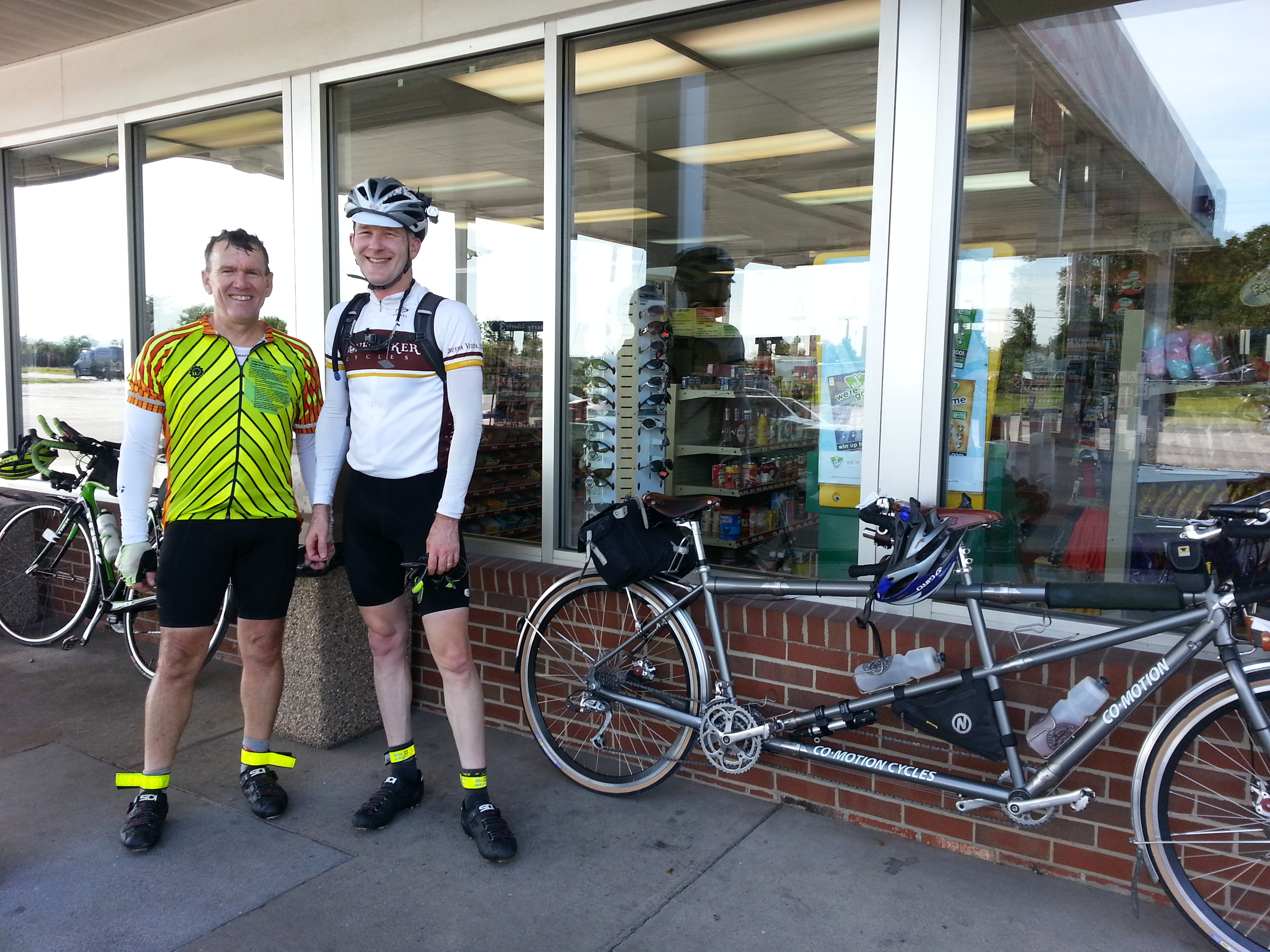
Liberty Gas in Middletown
Appalachian Adventure 1000K Preride Report
by Felkerino
A group of six volunteer pre-riders started the Appalachian Adventure 1000K on Friday morning, Aug. 29, under clear skies and warm temperatures.
Three of us — Mary Gersemalina and me on tandem and Barry Benson — rode on ahead to check out the route.
Nick B., George W., and Mike W. formed their own group as they expected to take more time to get around the course.

The Short Version
This ride is gorgeous throughout, coursing along tree-lined back roads, rising to breathtaking mountain views and descending to lush valleys.
You are challenged by long sections of rolling hills and extended climbs, but rewarded by fast sections where you can reclaim some time.

Most roads have minimal traffic. That said, there is some fast traffic leaving town on the first day.
In terms of pacing, the majority of the big climbs are complete after the ascent over Peters Mountain at mile 322.
You will need to keep moving diligently all through the first day to Lexington, Va., and then on to the control at Covington at mile 300, which closes at 12:12 on day two.
Covington is the only timed control of the second day and the challenging hills in the section before that control require riders to leave Lexington with enough of a cushion to get there on time.
After that the next hurdle is to get over Rockfish Gap and the hills on the first part of day three to mile 500.
The last 200K takes care of itself over mostly-moderate terrain, with the exception of a 13-mile segment of little hills on Snickersville Turnpike to Purcellville at mile 600. By this point in the ride, those little hills feel like mountains.
If you haven’t already, look over the profile at the RidewithGPS page for the event.
I’ve posted my photos, and here are Mary’s photos.

Full Ride Report
Day One: Leesburg to Lexington, Virginia.
Miles 0 – 215.3
The initial section consists of rolling roads to Harpers Ferry, West Virginia. We saw a lot of Friday morning commuter traffic headed against us on Charles Town Pike in the pre-dawn hours. Watch for cars in your direction trying to edge past against the oncoming flow. Also, the brief section on 340 is full of fast traffic and many trucks.
We saw deer along and crossing the roads until the sun came up — keep a sharp eye out for them.
We made good time to the Liberty Store control at mile 79, arriving at 9:48 and had tasty breakfast sandwiches. You’ll want to be fueled for the next section as the rollers gain intensity and steepness over Middle Road, Back Road and Liberty Furnace.

All six of us ate at the control at Basye, mile 121 at Hot Plates, a cute cafe; the food was excellent. We were famished and hot after the previous section, as the climbing and warmth of the day did its work.
There is a market nearby (noted on the cue sheet) that I presume is faster.

After a little dip to mile 135 we started a 55-mile section that mostly ascended. Watch for cars in Rockingham County around Singers Glen. Drivers in the area were true to our past experience in not waiting long nor moving over much as they passed.
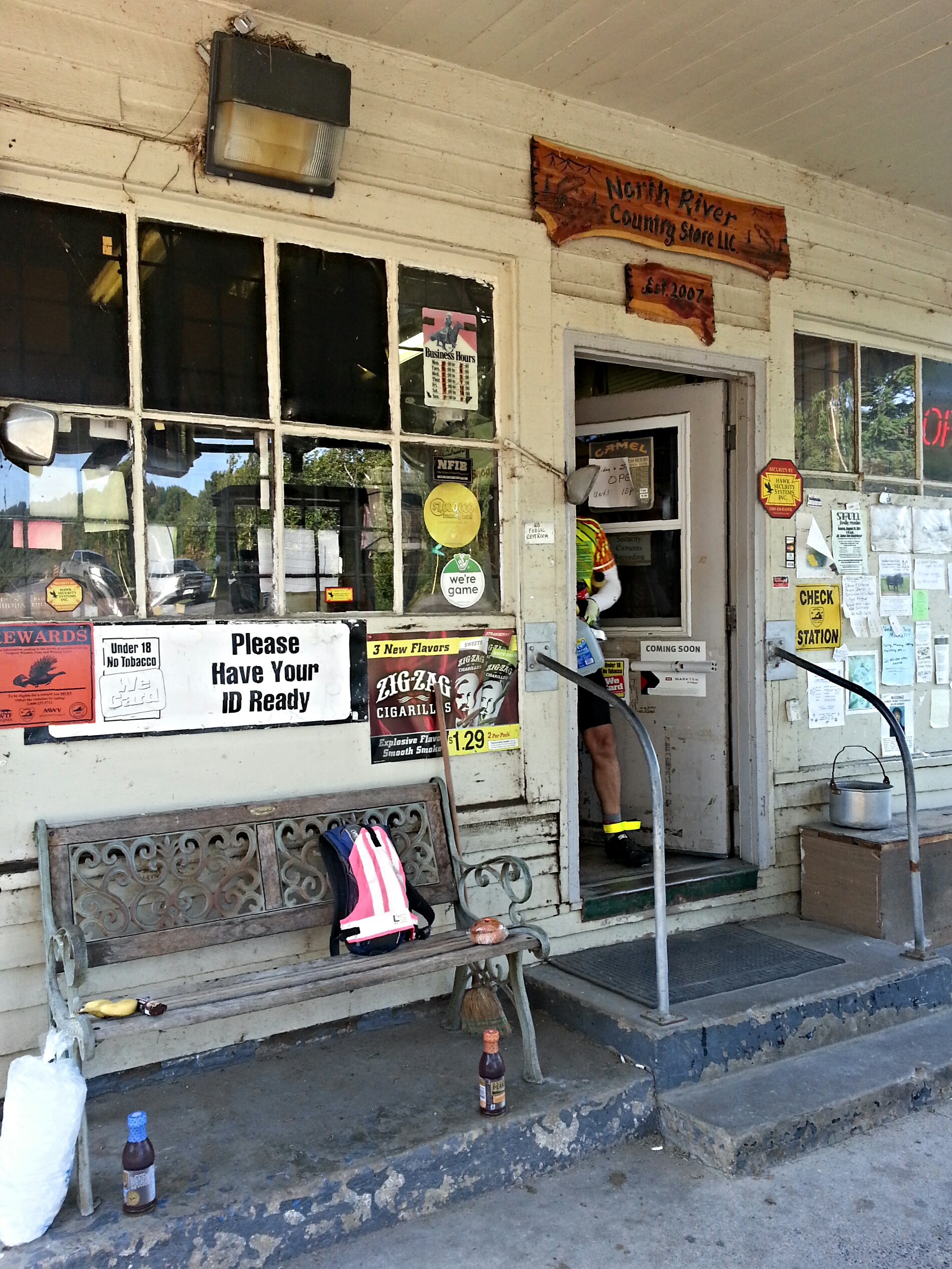
We refueled and bought ice at the North River store at mile 163 and again at the Jakes Convenience at mile 176, the last store still open for us. We found out Mike wasn’t recovered from being ill earlier in the week and was withdrawing.
A welcome descent at mile 190 brought us to our home road for next day, VA39/Maury River Road and the climb over the ridge to Lexington. We arrived at the Best Western hotel at 10 p.m.
Day Two: Lexington – Paint Bank – Lexington
Miles 215.3 – 417.7
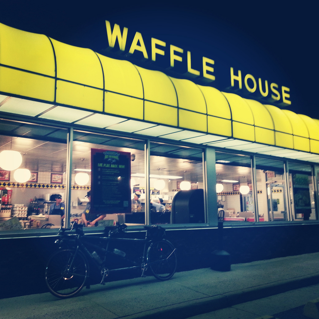
Barry’s wife Amy generously brought drop bags to the hotel so our things were waiting. After showers and three hours of sleep, Mary, Barry, and I ate at the next-door Waffle House and rode out just after 3 a.m. The day was more humid than Friday.
Making the Covington control, 85 miles away, was the first goal of the day, with lots of climbing ahead. After climbing out of Lexington, the road gradually rose past Goshen Pass and then pitched up to the information control at mile 257.
We all got drowsy just before the control and took a 15-minute nap on a paved driveway which did the trick.
After a rest at the Oak Ridge Store, mile 266, to fuel up for the major climb over Warm Springs Mountain, we rolled over and down to Hot Springs.

With the clock ticking we pushed on to the pretty descending run to the Callaghan Market control in Covington, mile 300, arriving at 11:10, a little more than an hour to spare.
Nick and George arrived about 11:40 in high spirits. We traded notes for a few minutes, our last visit of the ride together.
Gradual climbing took us to Peters Mountain, the high point of the event at 3,004 feet. This is a tough, hot climb on a tandem; we were glad to get it done. The descent was fast and steep with some loose gravel from recent repaving, requiring close attention.
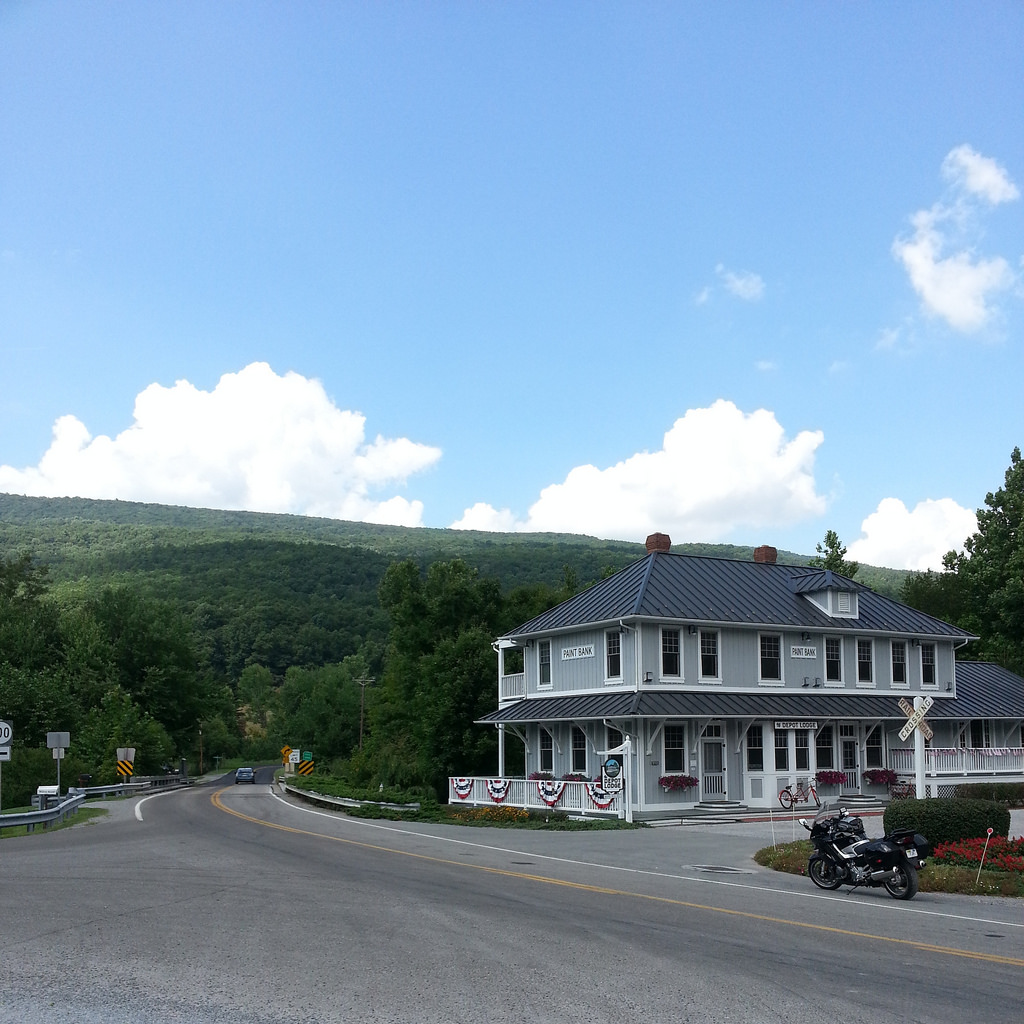
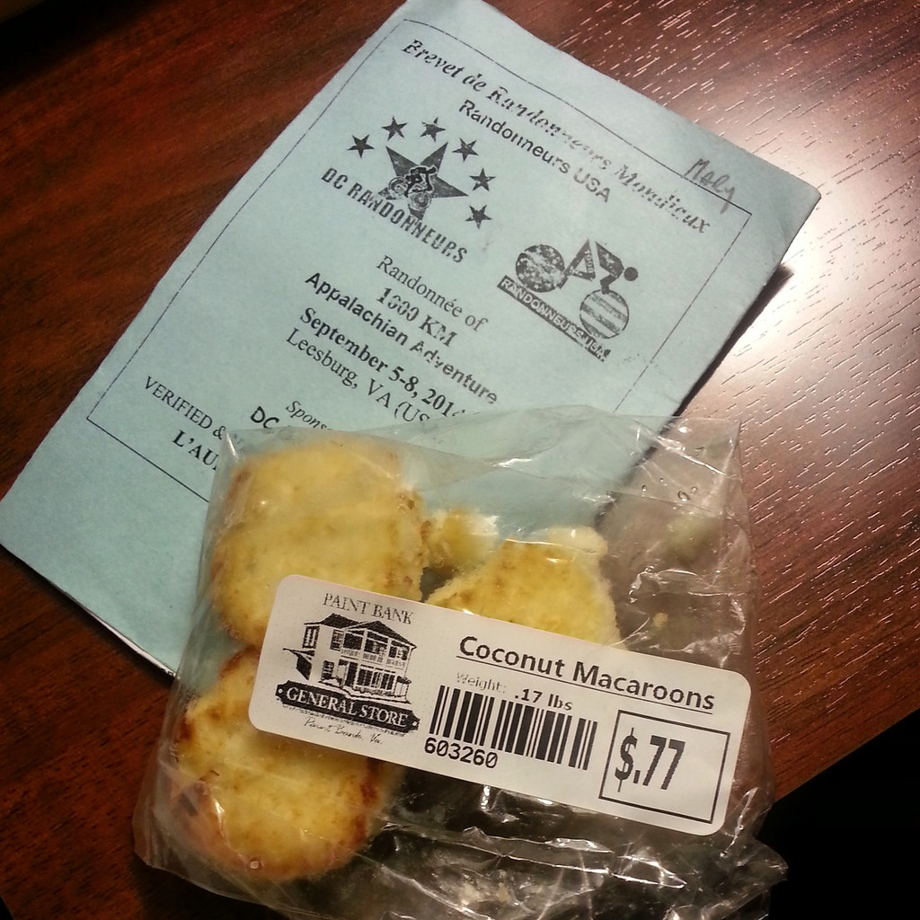
At Paint Bank General Store, mile 326, our plans for a big lunch were dashed by a long wait at the restaurant — 25 minutes to get a table — when we arrived at 2:23 p.m.
Nick tells me he hopes there is less demand for tables during the event and that the crowd was big because of the holiday weekend.
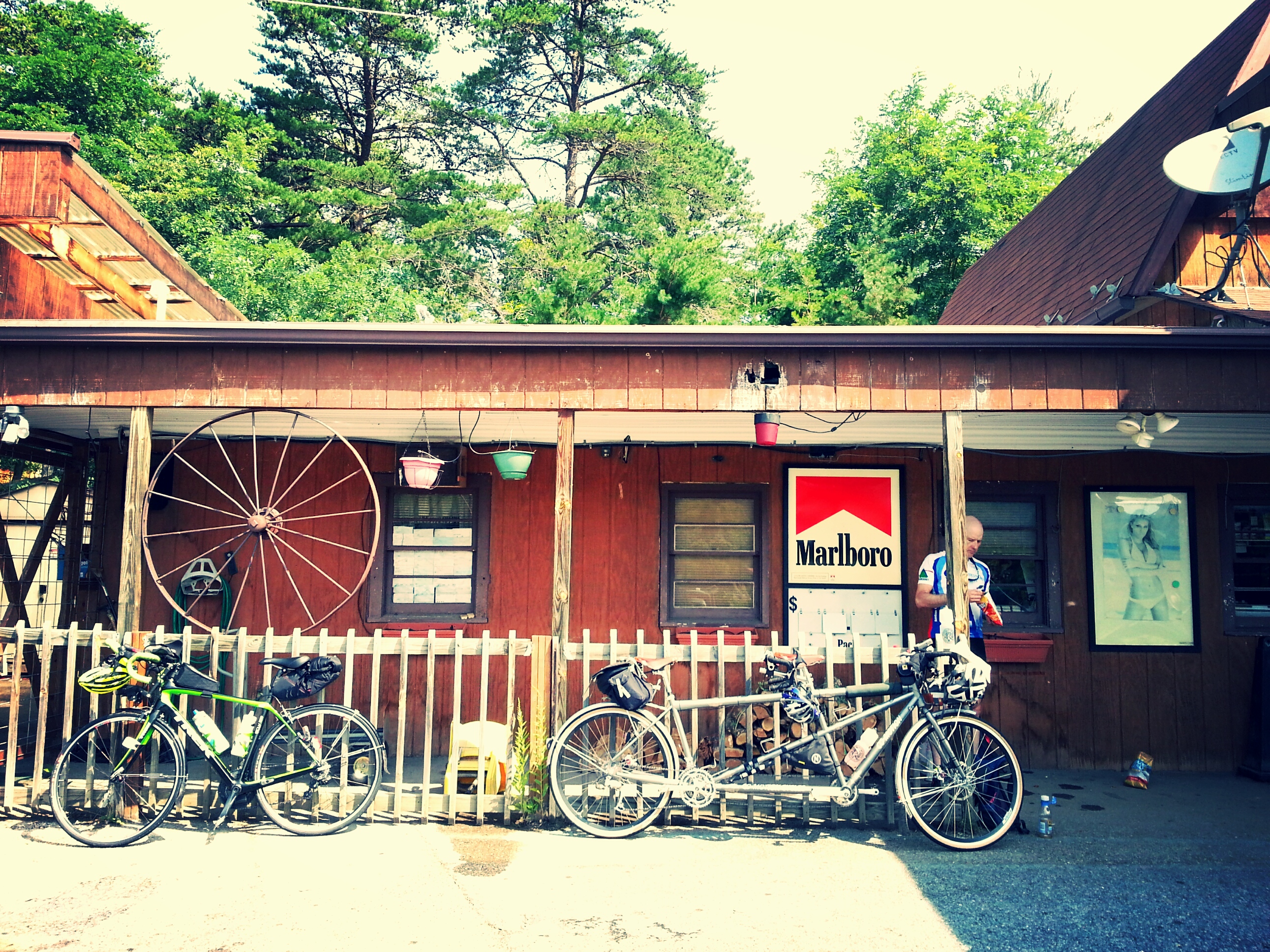
We ate snacks (the store has a small snack supply) and rode out for the 40-mile descending section through Covington and Clifton Forge, stopping for grilled ham and cheese sandwiches at the modest Snack Shack, mile 339.

We stopped again at the BP store in Clifton Forge for one last calorie infusion for the day as the sun started to dip. We knew there was climbing ahead and we wanted to make sure we had ample fuel in the tank.
Barry was fixing a mechanical off route in Covington and we unknowingly passed him, separating us for the rest of the day.
A moderate climb through wooded Douthat State Park to the information control brought us back to VA39 in the dark. After the little grunt over Panther Gap we made good time through Goshen again, and got back to the hotel at 10:46 p.m. The road was mostly deserted and it was just us, the stars and the bugs.
Day Three: Lexington – Leesburg
Miles 417.7 – 623.5
We regrouped at the Waffle House again with Barry and left at 4 a.m.
The route began with ascending roads to Vesuvius before easy riding to Waynesboro. All of the life was gone out of our legs by this point and we plodded through this section, but the fields were pretty as the sun rose. It was another humid day.

Another attack of the drowsies led to a stop at the park pavilion on the outskirts of Stuarts Draft for a 15-minute picnic table nap. The local horseshoe club volunteers noisily arrived right at 7:30, just as we got up.
In Waynesboro, the route avoids downtown. We stopped at the Sunoco, mile 464, for snacks. I think we should have stopped at the nearby Hess store — it looked a little nicer as gas station stores go.
The climb over Rockfish Gap is mercifully short and the descent long and fast. The heat came on strong as we tackled the narrow, twisty Greenwood Station Rd.
Take care here: there is a sharp corkscrew turn at mile 474 that is easy to overcook. We nearly came to a stop to navigate it.
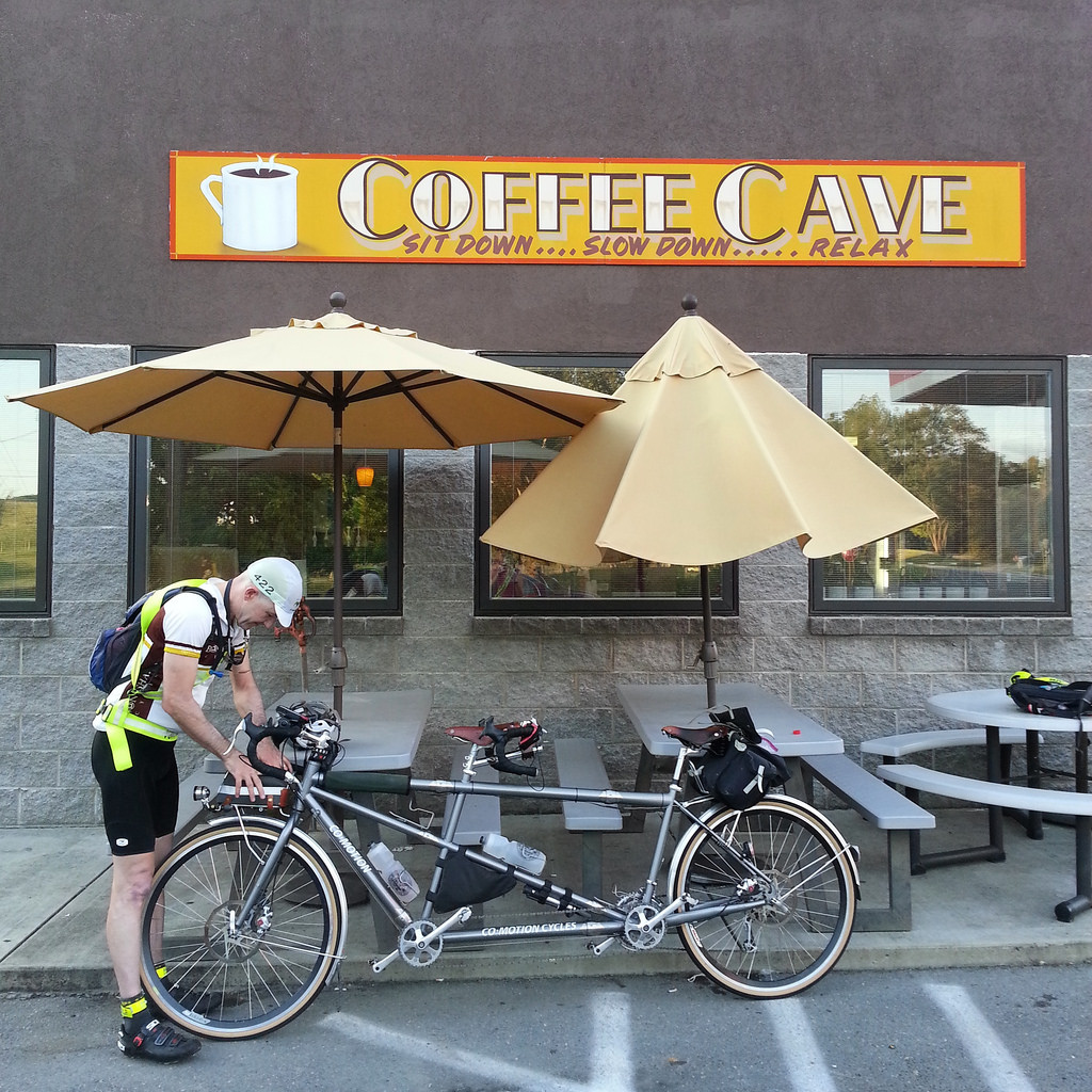
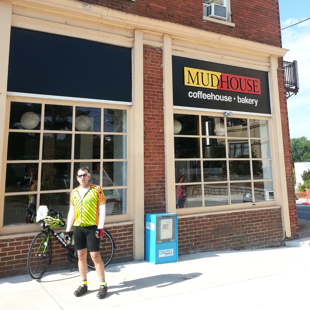
Our breakfast stop at the Mudhouse Coffee in quaint Crozet gave us a break from the heat. The service was fast enough and they nicely refilled our Camelbaks.
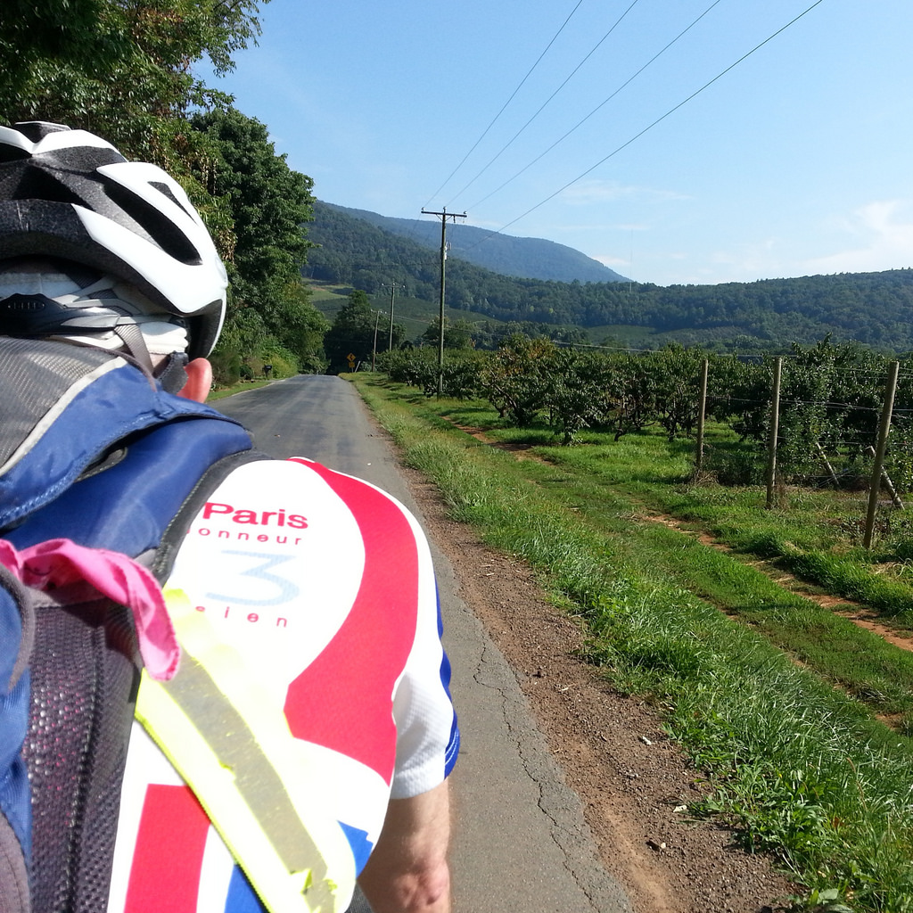
The food stop was the right move, as the next section features a number of spiky rollers to the information control at Dyke, mile 500. The hills are lovely in all directions.

Barry was climbing faster than us, and we missed him after he pulled off to tend to his bike again. At the Sheetz in Madison, mile 519, we bought everything in sight as we considered it our lunch stop.
Barry rolled in and waved us on — his crankarm kept loosening and he was going to have to tend to it periodically the rest of the way.

The final 200K were slow and eventful.
A thunderstorm hit hard within a mile of us leaving the Shell store on US211 just before Washington, and it drenched us before we found shelter.
There were downed trees near the Orlean Market information control, with local fire and sheriffs responders driving about. We slowed to navigate debris-strewn hills and descents. Luckily there was lingering daylight which made it easier to see the way.

Rain fell again at Marshall as night fell; we were tired and hungry, and ate at a Subway just off route before finally leaving under clearing skies at 9 p.m.
The route descends from Marshall, thankfully, and our spirits picked up.
After navigating the dark but deserted rolling hills to Philomont and Purcellville, with heat lightning streaking across the skies to our south, we motored back to Lexington, arrival at 12:19 a.m.
Epilogue
In terms of difficulty, I’d rate this in the same vein as the Pennsylvania Randonneurs Endless Mountains 1000K. On a tandem it’s a real challenge, with lots of shifting and standing up on the climbs.
Stay hydrated, fed, and keep moving, especially on the first two days. Make sure to get to Covington on time on day two.
Mary and I are staffing the second overnight control. We look forward to seeing you all there and bonne route!

Comments welcome. Keep it civil, por favor!