
Guys, we are in Montrose and I just can’t believe this day! 115 miles point to point with three big summits: Coal Bank Pass, Molas Pass, and Red Mountain. And all over 10,500 feet.
Fortunately for us, the final 40 miles of our day trended downhill or I’d still be out there riding. Today was a big day.
We left Durango, and encountered some local riders who assured us that “plenty of brutality” awaited us when we told them of our route. Well, I don’t know about brutality exactly, but we definitely earned our climbing wings today, if there is such a thing.
I skipped writing about the 60-mile leg between Pagosa and Durango. I’ll write something more later, but it was mostly hot and trafficky, with a sublime gravel climb at the end and an awesome meet up at Ska Brewing with Jenny Oh and her husband, as well as some friends of theirs who were in town visiting. What a treat!
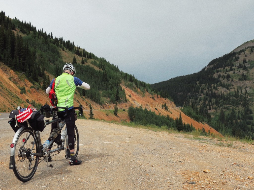
Anyway, back to today. We climbed away from Durango, ultimately landing on 550 – also known as the Million Dollar Highway. The higher we climbed into the clouds, the darker they became. I thought we might yet thread the needle and escape dry, but then regular rumbles of thunder were added to the mix and I knew our rainfree odds were not good.
As we approached the first summit, Coal Bank Pass, droplets began to fall. Yum, I love that first smell of rain mixing with the earth. Someone made fun of me once for this, but I stand by my wet dirt truth.
Generally, I also like the first rumbles of a thunderstorm. They take me back to summer days in Iowa. Even today I enjoyed the sounds until I realized that I would not be listening to the rain’s steady patter from the shelter of my home. Rather, drops would be mercilessly pelting me at over 10,000 feet of elevation.
Ah well, it made the riding much more interesting, and we have now worn all the gear we brought with us. Rain chased us around to our second summit – Molas Pass – and we threw on our extra layers by the stinky bathrooms at the overlook and headed down in steady rain to Silverton to drink coffee and discuss next steps. So much for all my comments about the heat over the last few days. We spent much of our ride in damp 50s.
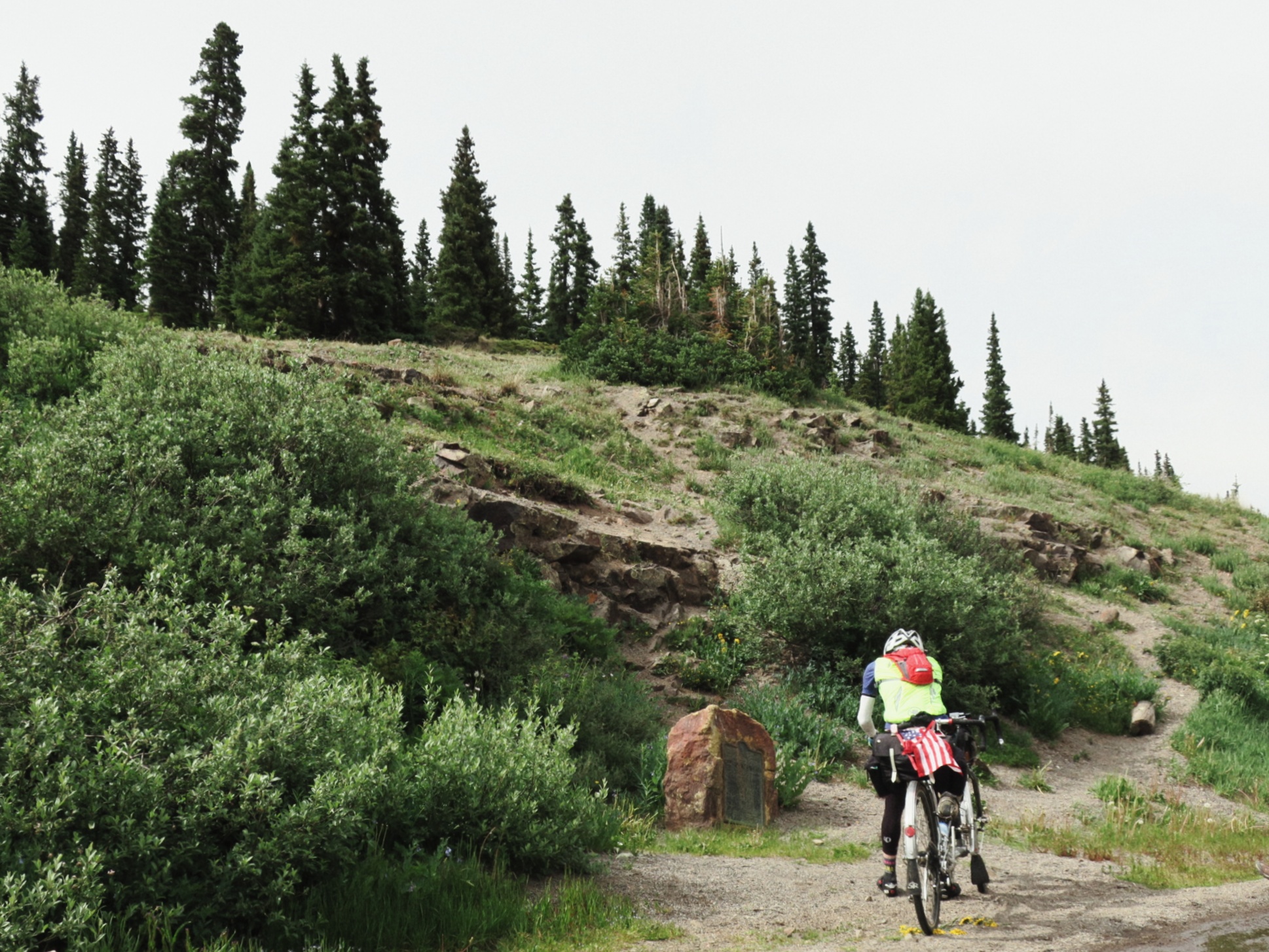
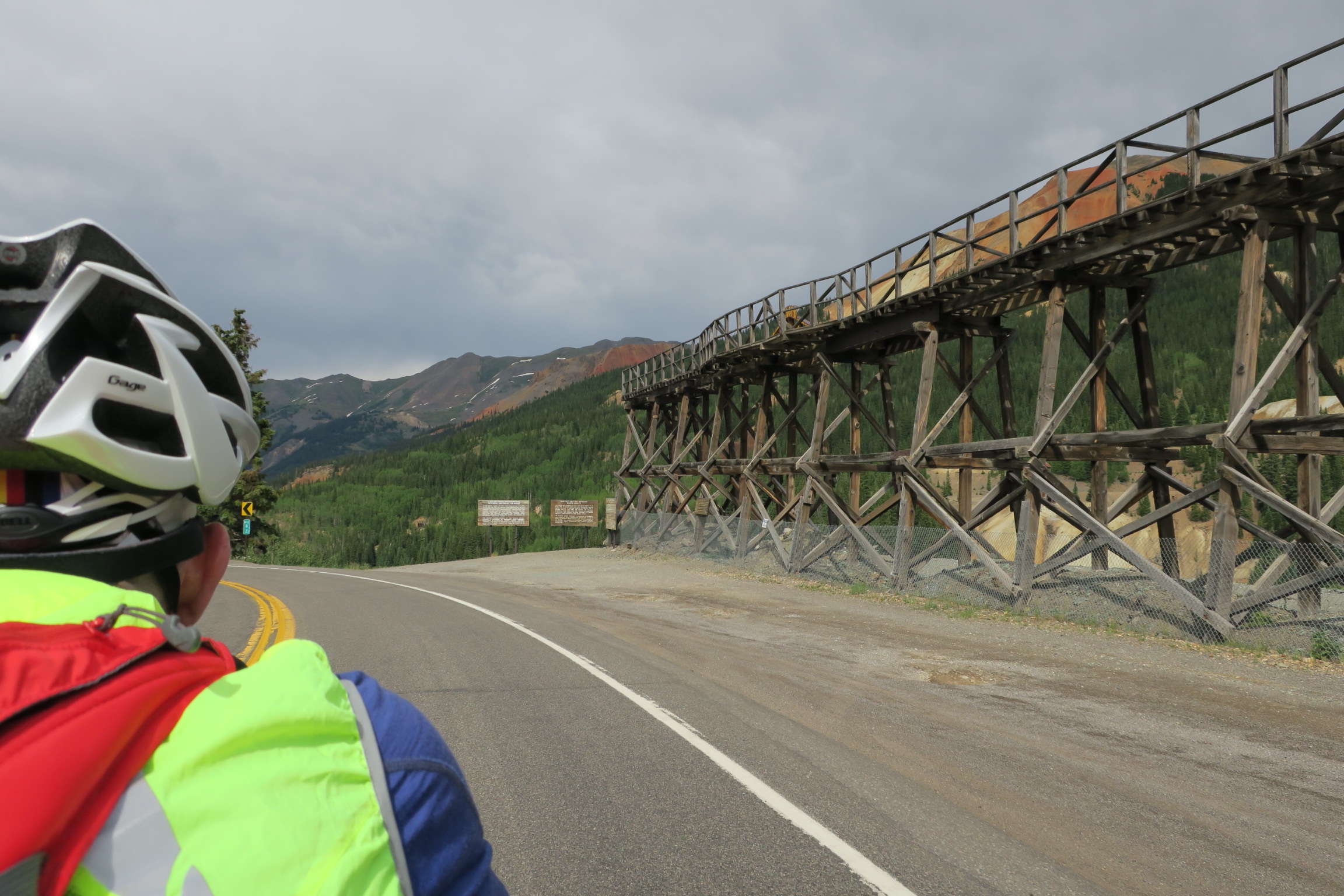
After an hour-plus we set out from Silverton, leaving the comfort of the coffee shop behind. But we had 65 miles left to ride and an 11,000 foot mountain waiting for us between Silverton and Ouray.

We made the right decision to continue, as the sky brightened up and the climbing on 550 was nice and quiet. Maybe the rain kept the tourists in town. I’m not sure, but it was good riding. The cars and trucks on the road were polite, and gave us room as they passed. That was a relief because the sheer drops on much of the ascent did not leave me longing to hug the shoulder.
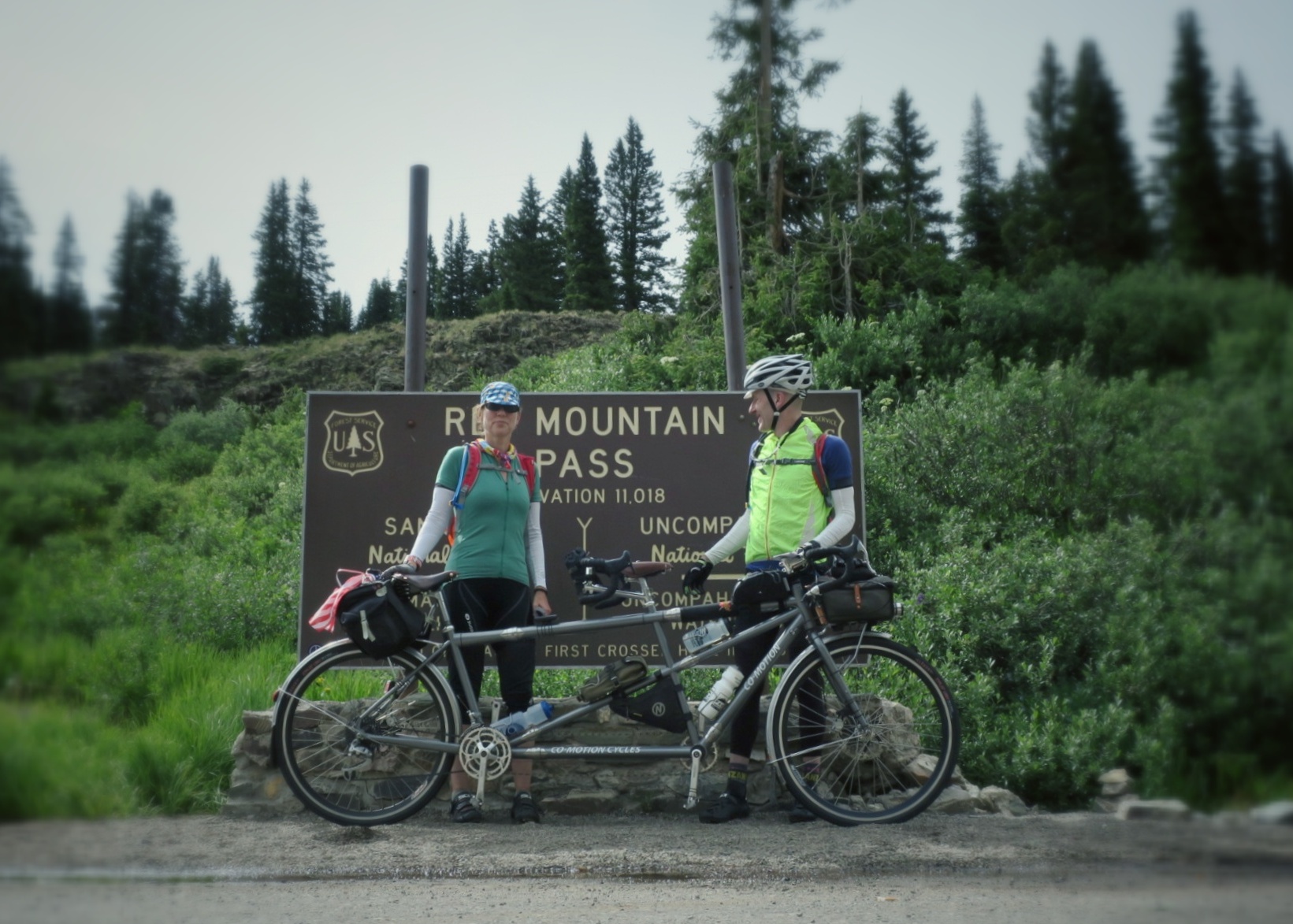
We summited Red Mountain in good spirits, although I did have a cranky moment with a tourist who happened to stop for a summit photo at the same time we did. I told him that the drive up must have been a real challenge.
In fairness, and as a person who hates almost all kinds of driving, it probably is a challenge to drive over that pass, but I selfishly wanted the summit sign for Felkerino and me only. Anyway, the driving tourist didn’t seem to notice my crankiness, took his photo, and then the summit sign was ours. Or so we thought. A swarm of mosquitoes moved in quickly to take us down, but we hightailed it down the mountain before they could completely destroy us.
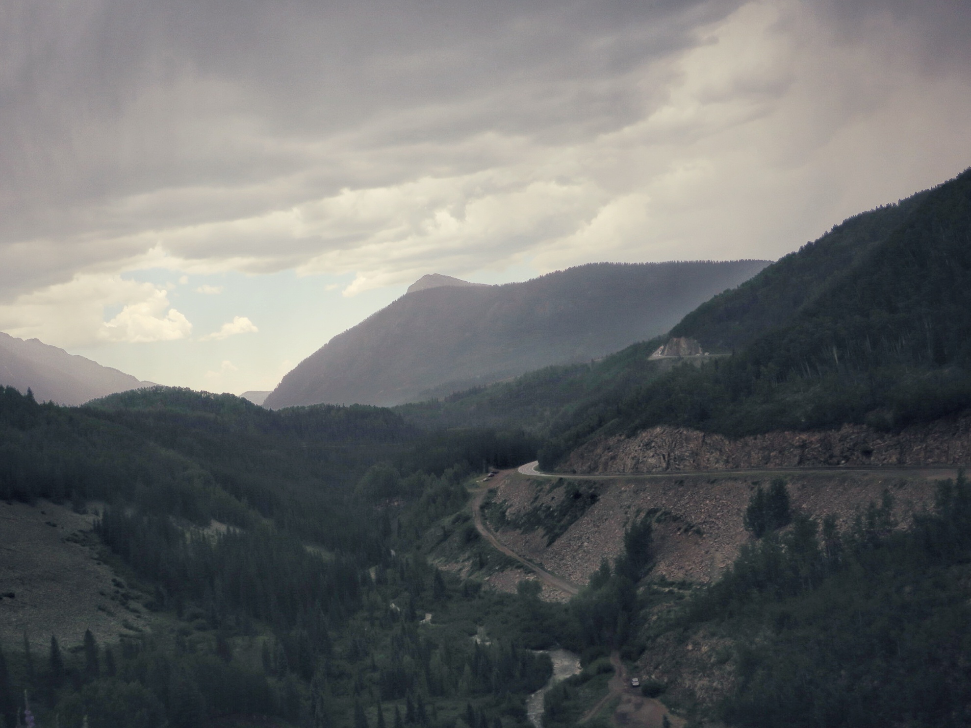
We snaked our way down down down to Ouray. At one point my Garmin said to “make a U-turn” which was actually following the U of the road. Oh Garmin, you’re funny!
We’ve traveled this route in the opposite direction, and I think it is easier to climb out of Ouray, as the switchbacks make for better ascent than descent. And the descents off the other passes are not as switchbacked as that from Red Mountain to Ouray.
That said, the overall descending for the next 40 miles to Montrose was not without its pleasures. 550 was busy in spots, but we managed a back road way from Ouray to Ridgeway, and then took a multi-use path out of town before rejoining the 550 madness.
As we approached Montrose the shoulder became wider and while I wouldn’t say it ever became pleasant riding, we made good time and everyone had plenty of space.
It was a long day, but what a rush to return to the big mountains of the Rockies. Everywhere you turn, the mountains overwhelm with their presence and gaze soundlessly back. They’re watching all of us, idly wondering what silly tricks we’re up to as they silently outlive us all.

Comments welcome. Keep it civil, por favor!